How to Find Good Rivers to Fish, Especially When You're New or Traveling
How anglers actually find trout water: state agency maps, tailwaters, fly shops, reading a map for access, and knowing if a river even holds trout.
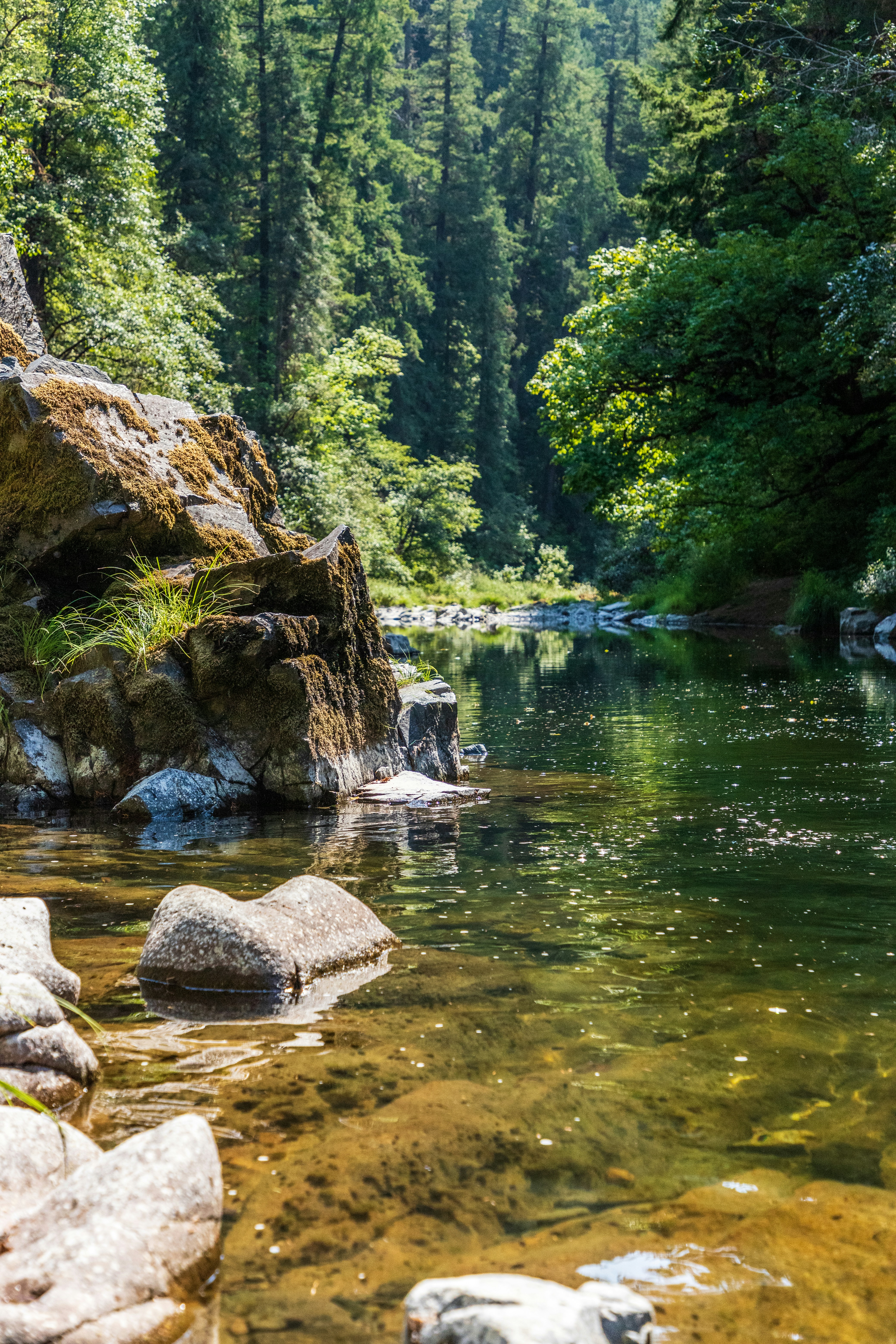
Everyone will teach you how to cast. Almost no one teaches you the quieter skill that decides whether you catch anything: figuring out where to go in the first place. It's the question every new angler has and few ask out loud, and it gets harder when you travel somewhere new and stare at a map of unfamiliar blue lines with no idea which ones hold fish.
The good news is that finding water is a learnable process. Here's how experienced anglers actually do it, from knowing which rivers even have trout to pulling the local intel that shortcuts years of trial and error.
First, know that not every river holds trout
This is the piece that saves beginners the most wasted days. Trout aren't everywhere. They need cold, clean, well-oxygenated water, so when you're looking for trout you're really hunting for cold water more than rivers in general. A warm, slow, lowland river can be full of fish, and they're bass, catfish, and panfish, which are a genuine blast on a fly rod and simply aren't trout.
Three kinds of water hold most of the trout you'll chase. Tailwaters are the stretches below dams, and the good ones pull their water from deep in the reservoir, where it stays cold all year and keeps the river fishable through the heat of summer. Spring creeks are fed by underground springs that hold a stable, cool temperature year round. And freestone streams are the classic mountain rivers, fed by snowmelt and rain, that run cold because of elevation. Learn to recognize which type you're looking at and you stop wasting time on water that was never going to hold a trout.
One caveat on tailwaters that trips people up: the dam has to release from the bottom. Deep releases run cold enough to hold trout year round, and a dam that spills from the surface sends the reservoir's warmest water downstream instead. So a dam on the map isn't a promise of cold water. Check which kind it is before you commit the drive.
The resource nobody tells beginners about
Here's the single most useful free tool for finding water, and hardly anyone points new anglers to it: your state fish and wildlife agency website. Every state has one, and most publish a goldmine. Stocking schedules that tell you which waters got fish and when. Trout stream maps. Sometimes a list of designated quality or Blue Ribbon waters. And access points and regulations for each stretch.
When you're heading somewhere new, that agency site is the first thing to check, because it literally maps where the trout are and where you're legally allowed to fish for them. It's free, it's official, and it beats a random forum post from three years ago. Start there every time.
One useful wrinkle: stocked water and wild water are different animals. A stocking schedule tells you where hatchery fish just went in, which is genuinely useful when you're learning. A Blue Ribbon or quality-water designation usually points at a wild fishery managed for its own reproduction. Montana, for instance, stopped stocking trout in waters that already held wild fish back in 1974, after a state biologist's work on the Madison showed the hatchery fish were actually suppressing the wild ones. The wild populations climbed once the stocking stopped. Both kinds of water are worth fishing. They just fish differently.
Tailwaters are the traveler's cheat code
If you're visiting somewhere and only have a day or two, find the local tailwater. Because that bottom-release dam keeps the water cold and the flows relatively steady, a tailwater often fishes well when the surrounding freestone rivers are too warm in summer or blown out with runoff in spring. They're the most reliable trout water in a lot of regions, and they're usually well documented because everyone fishes them. When in doubt in unfamiliar country, the tailwater is the safe bet.
Fly shops are the best local intel there is
Nothing beats the fly shop closest to the water. The people behind that counter know what's fishing right now, where the access is, what's hatching, and what to throw, because they live it and their livelihood depends on knowing. Call ahead or stop in, be friendly, and buy a few flies while you're there. That small courtesy buys you the most current, hyper-local information available anywhere, and it supports the shops that keep these fisheries healthy.
No app, forum, or map replaces a good shop for what's happening today on the water in their backyard. Treat them as the resource they are.
Read the map before you drive
A little map work at home saves a lot of driving. Look for public land, national forest, BLM ground, state land, with water running through it, because that's where access is easiest and legal. Satellite and topographic maps also tell you the character of the water before you ever see it: tight contour lines mean a steep, fast, pocket-water stream, while wide-spaced lines mean a slower meadow river, and each fishes differently.
The one non-negotiable that comes with this: access and permission are always your responsibility, every single time. Just because water shows on a map doesn't mean you can legally fish it. Verify public access, respect private property, and never assume. Getting this wrong is how anglers lose access for everyone.
This is where traveling anglers get burned, because the right to be in the water changes at the state line, and the gap between states is wider than most people expect. Some let you wade and fish a river through private ground as long as you stay below the high-water mark. Others treat the streambed itself as private property, where standing in it is trespass no matter how you got there. Montana and Colorado sit at opposite ends of that range, and plenty of states fall somewhere in between.
Two habits keep you clear of it. Look up the current access rules for the state you're driving to rather than assuming your home rules travel, because they often don't. And get in at a public access point instead of crossing private land to reach the water, since the right to be in a river and the right to walk to it are separate questions, and the second one is where most trespass problems actually start.
Once you're there, "good river" becomes "good water"
Here's the reframe that changes everything. A famous river fishes poorly if you show up on the wrong day or fish the wrong parts of it, and a modest creek fishes great if you read it right. So finding a good river is really two layers.
The first layer is conditions. Is the flow reasonable and the water temperature in a range the fish will feed in, today, given the season and time of day. A quick look at the river's flow gauge and a little thought about the weather answers most of this before you leave. The second layer is reading the water once you're standing in it, fishing the seams where fast meets slow, the foam lines carrying food, the soft pockets behind rocks, and the heads of pools, rather than casting blindly at the whole river. This is why one day you catch a dozen and the next day nothing on the same stretch. It's almost never that the river went empty. It's conditions and where you put the fly.
Don't overlook the small water
One last piece of advice that most anglers learn far too late. The tiny blue-line creeks that everyone drives past are often the best places to learn, and sometimes the best fishing, period. They hold wild fish, they get almost no pressure, and their small scale forces you to read water quickly because everything is right in front of you. If you're new and blue-lining your local area, you're already doing one of the smartest things you can do. Keep at it, and when you find a good one, protect it. Don't burn a special spot publicly. The anglers who came before you kept it quiet for a reason.
Finding water is a skill that compounds. Every river you learn to read makes the next one easier, and the process, agency maps, tailwaters, fly shops, careful map work, is the same everywhere you go. If you want a place to start, our guide to where to fish breaks it down by region.
Rivus is built for the last mile of this, the part where you've found some water and still have to decide if it's worth the drive today. It reads the live flow and water temperature on the rivers it covers, sets them against what's normal for the season, and gives you an honest go or no-go call, and where there's no live gauge it tells you the read is an estimate instead of inventing one. Finding the river is on you. Knowing whether today is the day is the part we help with.
Your river is fishing right now.
Go see what's working.
Live conditions, real hatch reads, and a hand when you're stuck. Free to start, no card required.
Your river is fishing right now.
Go see what's working.
Live conditions, real hatch reads, and a hand when you're stuck. Free to start, no card required.
Your river is fishing right now.
Go see what's working.
Live conditions, real hatch reads, and a hand when you're stuck. Free to start, no card required.